Projects
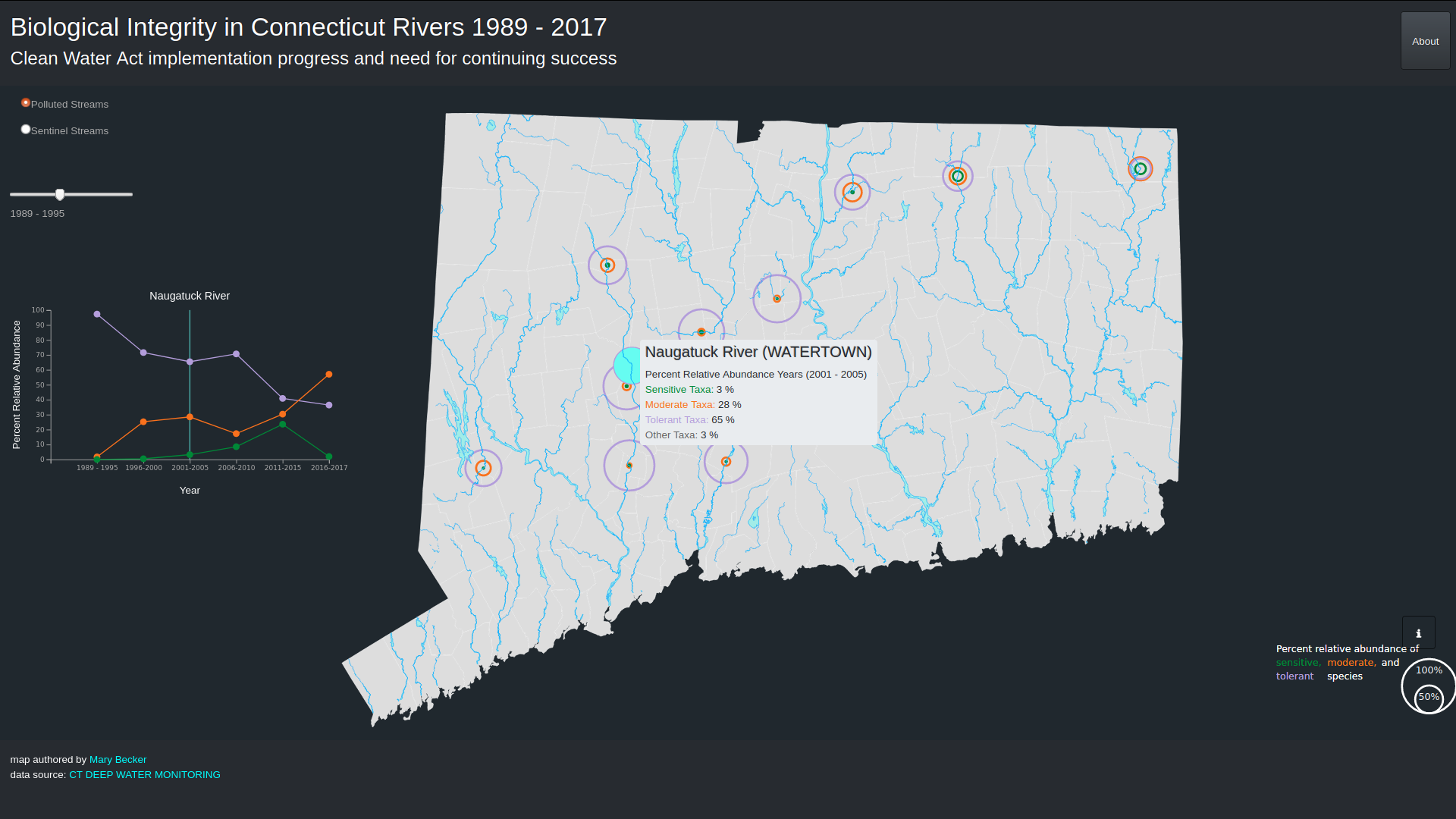
Biological Integrity in Connecticut Rivers 1989 - 2017
Significant progress has been made to clean up rivers since the passage of the federal water pollution control act (commonly known as the clean water act) in 1972. However, much of the focus has been on fixing waste-receiving streams with overt pollution problems which has left high quality streams vulnerable and open to degradation. This map seeks to demonstrate progress made to date, while at the same time highlighting the need to modernize assessment methods to protect high quality streams from degradation and continue to augment the success of the clean water act.
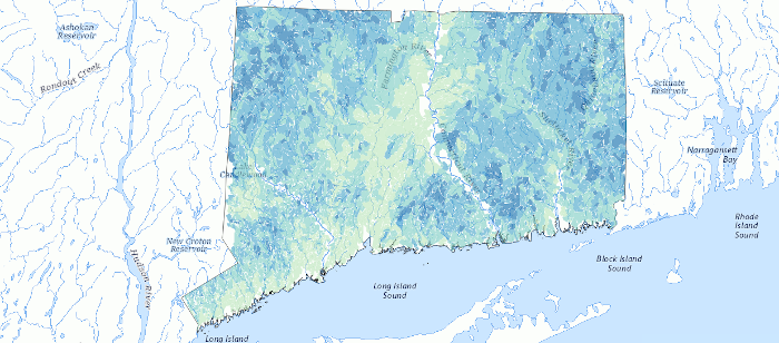
Project RepositoryPredicted Stream Health in Connecticut
Alteration of landscape condition has a negative impact on stream biology. Bellucci et al. 2013 developed and evaluated models using an information theoretic approach to predict stream health. This information can be used to support conservation of healthy waters across the State. The map displays the predicted stream health for Connecticut stream catchments drawn at a 1:100,000 scale.
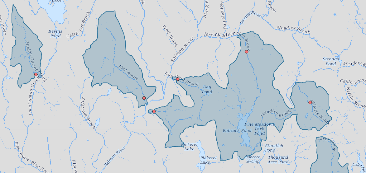
Project RepositoryCold Water Habitat
Cold water habitat is a vital resource that supports native species such as wild brook trout and slimy sculpin in Connecticut. Cold water habitat in Connecticut is threatened by land use change, dams, culverts and climate change. The map displays cold water sites and supporting habitat. Cold water habitat was determined using available fish and water temperature data collected by the CT DEEP Monitoring and Assessment and Inland Fisheries Programs. The analysis to date includes years 1988 - 2019.
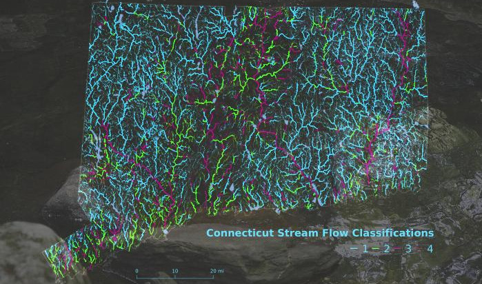
Project RepositoryStream Flow Classifications
The State of Connecticut Stream Flow Standards and Regulations (Section 26-141b-1 to 26-141b-8 of the Regulations of Connecticut State Agencies) define four stream flow class standards. The regulations include consideration of 18 factors when adopting river or stream system classifications. Becker & Bellucci 2016 developed a methodology to identify a proposed stream flow class for public comment. The stream flow classification of a stream or river segment is based on ecological conditions and human use characteristics, and determines flow management goals and applicable flow standards for that segment. The final map includes input provided during the public comment period.
Interactive mapDiatoms as Ecological Indicators of Trophic Conditions
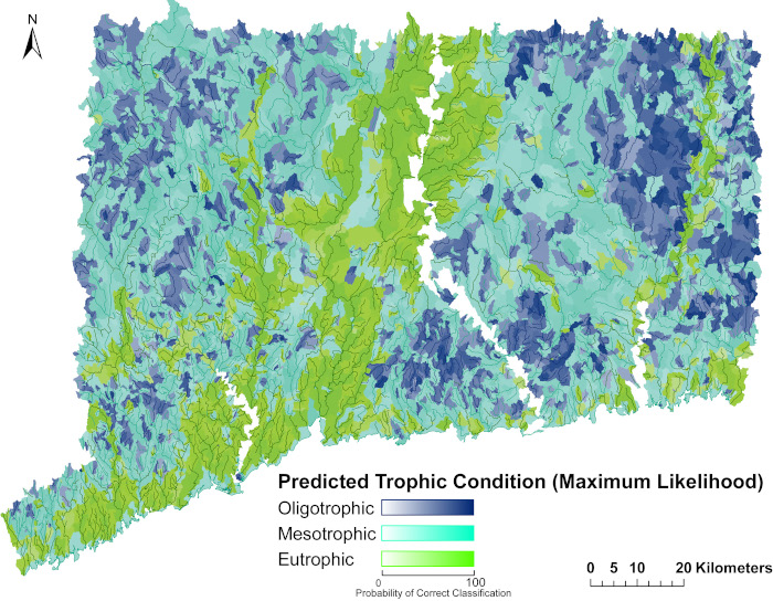
Anthropogenic phosphorus is a major driver of cultural eutrophication in rivers and streams, leading to numerous water quality impairments, including detrimental shifts in biological communities. Eplithic diatoms are a type of algae that respond to changes in trophic conditions. Becker et al. 2018 demonstrated that diatom tolerance metrics can be used effectively in a weight of evidence approach to identify phosphorus as a cause of water quality impairment in Connecticut.
Project Repository